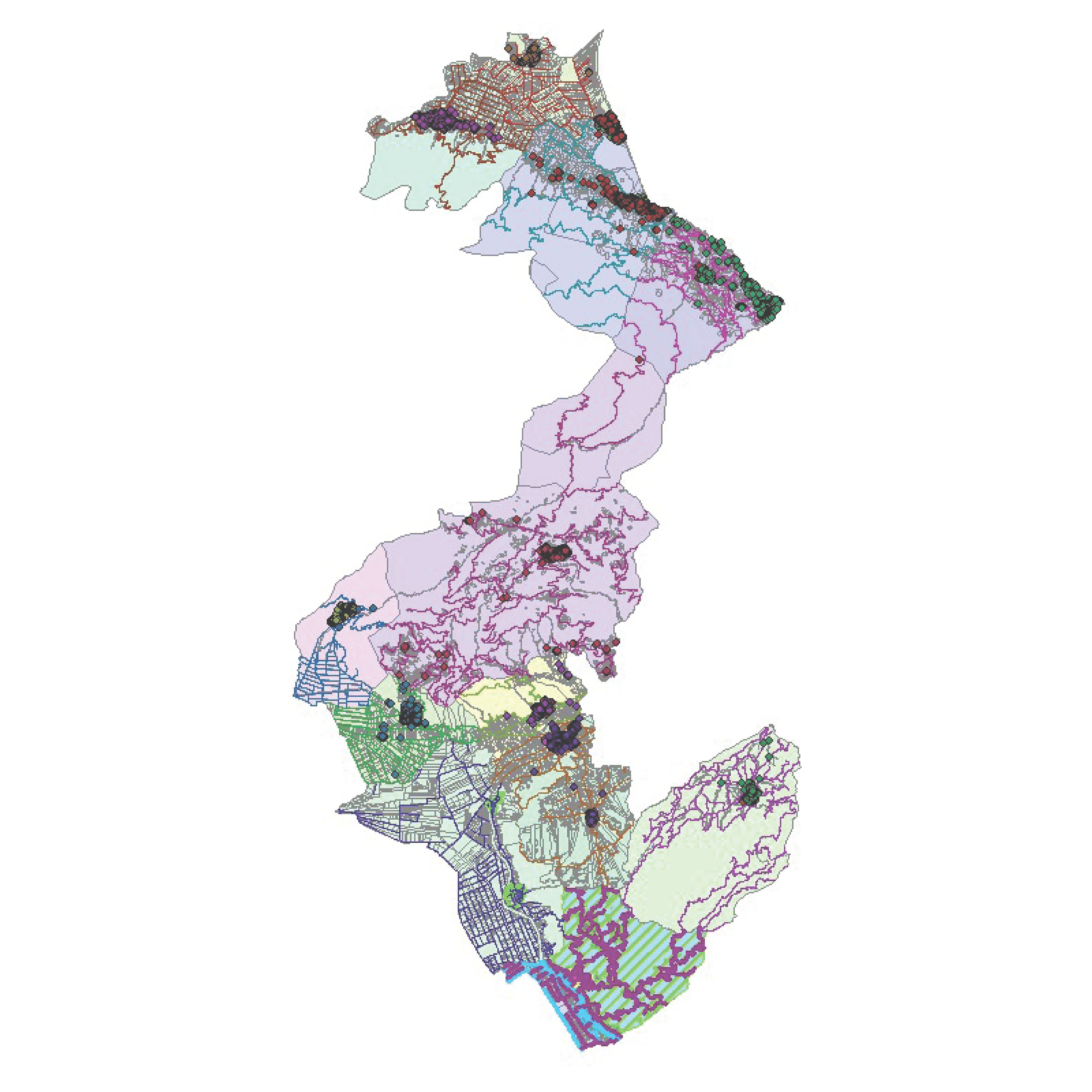
Geographic Information Systems (GIS)
Geographic Information Systems are a modern tool for managing 2D or 3D spatial information. This information is managed, in contrast with the simple design programs (CAD), in a multi-dimensional way. Their significant advantage over CADs is that they can be combined with descriptive information databases, composing a complete data system (spatial & descriptive) that can be used to draw conclusions based on their topological correlation.
One can conclude that GIS applications relate to any activities that involve spatial information. TOPODOMIKI has multiyear experience in using GIS tools, as they have been incorporated in most of our conducted studies as a tool for optimizing the quality of the results.
Indicative Works
- GIS training tasks in the Olive sector and the Viticulture Register in the prefectures of Attica, Argolida, and Corinth.
- Register and topographic survey and Cadastral compilation of the real estate properties of OSE S.A. in the prefectures of Attica, Viotia, and Evia.
- 151 views


