
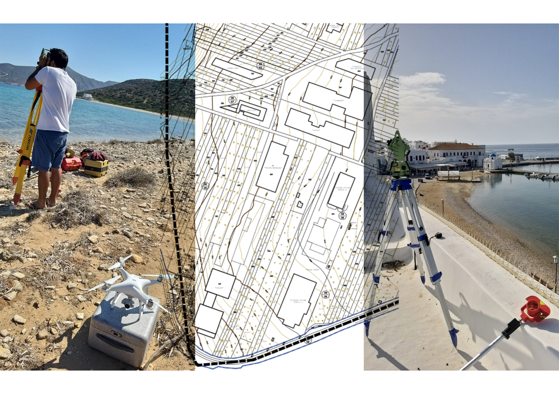
Topographic Surveys
Topographic surveys of any kind constitute the main axis of operations which gave prominence to TOPODOMIKI. By utilizing its members’ multi-year experience in the field, but also the available equipment, TOPODOMIKI is able to conduct studies/ surveys such as:
- Installation and measurement of triangular and leveling control surveys/ networks
- Topographic surveys
- Cadastral surveys
- Implementation Acts
- Surveys of infrastructure networks
- Surveys of constructed works
- Elevation Surveys
- Volumetric measurements
- Setting outs
- Control networks and micro-movement monitoring
 |
Indicative Works
- Cadastral works in streams under the responsibility of EYDAP in Eastern and Southern Attica.
- Topographic and cadastral surveys of a zone for the study of Stavrou – Rafina road.
- Topographic surveys for establishing streams’ boundaries during the 1st and 2nd Implementation Act of Porto Rafti of the Municipality of Markopoulo.
- Registering and topographic mapping of the real estate of OSE.
The firm has modern and high accuracy total stations, Global Positioning Systems (GPS), and all the required peripheral equipment in order to carry out topographic measurements of any degree of difficulty.
- 229 views